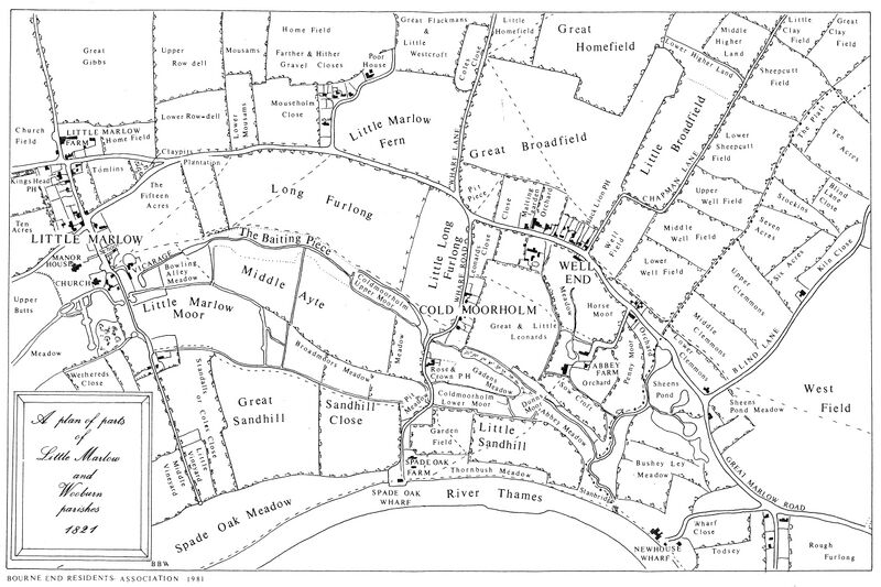
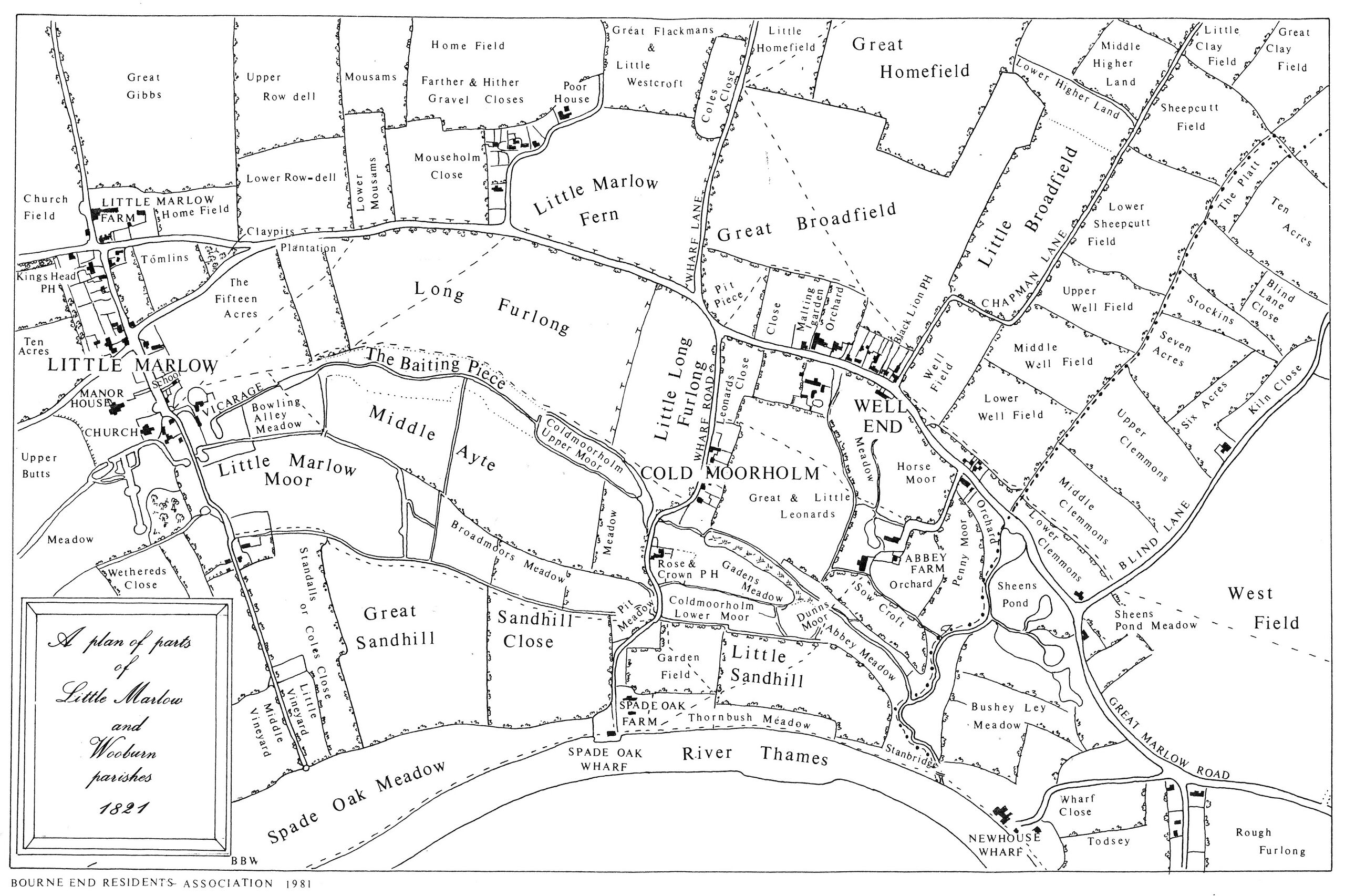
File:1821-MapOfPartsOfLittleMarlowandWooburnParishes2.jpg
From Bourne End Bucks One Place Study

Size of this preview: 800 × 533 pixels. Other resolutions: 2,560 × 1,705 pixels | 4,758 × 3,168 pixels.
Original file (4,758 × 3,168 pixels, file size: 3.56 MB, MIME type: image/jpeg)
Summary
This is an 1821 map of parts of the parishes of Little Marlow and Wooburn covering parts of the Bourne End
Licencing
The copyright to this image is owned by Bourne End Residents Association who have given permission for it to be used on the BEBOPSS website. It cannot be downloaded or reused in any way.
File history
Click on a date/time to view the file as it appeared at that time.
| Date/Time | Thumbnail | Dimensions | User | Comment | |
|---|---|---|---|---|---|
| current | 22:31, 6 November 2024 | | 4,758 × 3,168 (3.56 MB) | Dave foster admin (talk | contribs) | This is an 1821 map of parts of the parishes of Little Marlow and Wooburn covering parts of the Bourne End |
You cannot overwrite this file.
File usage
The following page uses this file: